
The London Road Level Crossing: What's Happening and When
Sitting in a stationary line of traffic near Garth Park on a rainy Tuesday morning, you watch the flashing red signals pulse across the carriageway. The barriers drop into place with a mechanical clunk, and brake lights stretch backwards towards the Launton Road roundabout. For thousands of motorists, cyclists, and pedestrians travelling between south Bicester and the historic town centre each day, the London Road crossing Bicester represents the defining test of daily patience. Extended barrier closures disrupt school runs, delay morning commutes, and create gridlock across our southern road network. Finding a permanent, workable solution to this railway bottleneck stands as one of the most critical civic priorities in North Oxfordshire.
TL;DR: London Road Level Crossing Update
- What this post covers: A complete local guide to the London Road crossing Bicester, detailing barrier closure times, East West Rail service increases, and proposed underpass infrastructure.
- Why it matters to Bicester residents now: East West Rail passenger services connecting Oxford, Winslow, and Milton Keynes will significantly increase train frequencies across London Road.
- The key highlight or finding: East West Rail identified a single-lane motorised underpass with a dedicated active travel corridor as the preferred long-term replacement option.
- What practical information you will get: Practical driving alternatives via the peripheral ring road, walking routes into Market Square, and key civic consultation milestones.
- A single immediate action you can take: Review the East West Rail consultation updates and planning papers on the Cherwell District Council planning portal.
Why Are Barrier Down Times Increasing at the London Road Crossing?
The railway line crossing London Road has served Oxfordshire travellers for well over a century, but recent rail expansion has transformed its operational demands. Chiltern Railways introduced frequent direct services between Oxford and London Marylebone, which elevated baseline rail traffic across the south side of town. Today, the level crossing Bicester barriers lower between twelve and fifteen times every hour during peak daytime windows. When barrier descent, safety interlocks, train passage, and gate reopening are combined, the crossing currently remains shut to road users for fourteen to twenty minutes in every sixty-minute period.
The challenge expands dramatically as the complete East West Rail guide route comes into full passenger service. Connecting Oxford to Milton Keynes Central and Bedford requires up to four additional passenger trains per hour in each direction, alongside scheduled freight paths. Transport modelling conducted by Network Rail indicates that keeping an open level crossing with these increased frequencies would force barriers down for thirty-two to forty-five minutes every single hour. Leaving the existing crossing arrangement untouched would paralyse local traffic, isolate southern residential areas, and generate severe safety risks for emergency response vehicles.
To understand how rail patterns intersect across town, residents can contrast these southern track movements with the Chiltern Main Line at Bicester North by reading our Bicester North vs Bicester Village station guide. The high frequency of modern rail travel delivers remarkable regional connectivity, yet solving the London Road bottleneck remains essential for preserving internal town mobility.
What Are the Proposed Solutions for Replacing the Level Crossing?
Over the past decade, the East West Railway Company (EWR Co), Oxfordshire County Council, and Bicester Town Council have evaluated multiple engineering options to replace the London Road level crossing. Early design proposals ranged from full road overbridges to total vehicular road closures. However, building a vehicle overbridge would demand steep approach ramps, extensive land acquisition, and the demolition of adjacent residential properties along London Road and Station Approach. Consequently, highway planners eliminated road flyovers from consideration.

Following rigorous technical assessments and public consultations, East West Rail confirmed a single-lane motorised underpass with an integrated active travel corridor as its preferred solution. This design allows light motor traffic to pass beneath the railway line using alternating signal control, while providing an entirely segregated, well-lit path for cyclists, wheelchair users, and pedestrians. Nevertheless, constructing an underpass presents technical hurdles due to high local water tables and complex utility networks buried beneath London Road. Delivering the project depends on securing joint third-party capital funding from central government and local transport bodies before the formal Development Consent Order (DCO) process concludes.
| Proposal Option | Vehicle Access | Active Travel (Pedestrians / Bikes) | Main Advantages | Primary Challenges |
|---|---|---|---|---|
| Single-Lane Underpass (Preferred) | Alternating single lane with traffic signals | Dedicated, wide segregated pathway | Preserves town centre link for drivers and walkers | High water table drainage and utility diversions |
| Pedestrian / Cycle Underbridge Only | Completely closed to motor vehicles | Uninterrupted segregated path | Lowest construction footprint and faster delivery | Requires all motor vehicles to divert via A41 |
| Pedestrian Overbridge with Lifts | Closed to motor vehicles | Stepped and lift-equipped bridge | Avoids deep excavation and ground water issues | Lift maintenance dependency and visual bulk |
| Road Overbridge (Flyover) | Two-way elevated road | Integrated footways | Unrestricted vehicle flow | Severe visual impact, steep ramps, property demolition |
Should funding constraints lead planners toward a dedicated London Road closure Bicester for motor traffic, the town would rely exclusively on an active travel underbridge while rerouting cars and lorries around the peripheral road network.
How Does the Level Crossing Affect Daily Life in Langford Village and Town Centre?
The geographic location of London Road makes it a crucial artery for thousands of households living south-east of the town centre. In Langford Village Bicester, more than two thousand families rely on London Road for direct access into Market Square, Sheep Street, and Garth Park. When walking or cycling, the journey from Peregrine Way into the historic shopping quarter takes eight to twelve minutes. A completely severed connection without an underbridge would turn a brief walk into a two-mile detour via the busy A41 Boundary Way, isolating residents from high street amenities.
Local trade along Sheep Street and Market Square depends on direct physical access from nearby neighbourhoods. Independent shopkeepers, bakery owners, and market stallholders value foot traffic coming northward across London Road each Friday. Furthermore, civic services based at Garth House (OX26 6PS) on Launton Road receive daily visitors who pass directly past the crossing. For further details on council administration and local representation, explore our guide to council services in Bicester. Maintaining a clear, safe, and accessible link between south Bicester and the town core ensures that our community remains tightly integrated rather than split in two by railway tracks.
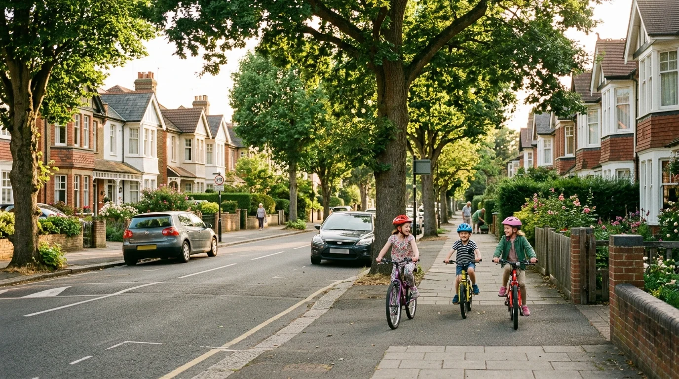
Cyclists and families with prams especially require level, well-lit pathways. The town continues expanding its designated cycling infrastructure, as documented in our review of cycling infrastructure in Bicester and our favourite walking routes in Bicester. Ensuring that any new London Road underpass accommodates cargo bikes, pushchairs, and mobility scooters without steep staircases remains the top demand raised by local residents during council consultations.
What Alternative Routes Should Motorists Use During Peak Hours?
While long-term civil engineering solutions move through formal planning stages, motorists need dependable strategies to navigate daily delays today. The London Road crossing experiences its longest barrier downtimes during morning peak hours (07:30 to 09:15) and evening rush hours (16:45 to 18:30), coinciding with commuter services to Oxford and London Marylebone.
Drivers travelling between southern estates and eastern industrial areas should bypass the level crossing entirely by using the town’s peripheral distributor routes:
- The Eastern Distributor Route: From Langford Village or Graven Hill, join Neunkirchen Way and continue along Seebach Way and Charbridge Lane (A4421). This bypasses the town centre entirely and connects directly to Launton Road and Buckingham Road.
- The Southern and Western Bypass: From southern residential zones, follow the A41 corridor past Rodney House roundabout towards Vendee Drive and Oxford Road, accessing western Bicester without crossing railway lines.
- Town Centre Parking Alternatives: If you are driving into town for shopping or appointments, approach the town centre from Kings End or Queens Avenue to use the multi-storey facility at Pioneer Square (OX26 6JU) or surface bays on Victoria Road. For complete charging tariffs and parking maps, consult our guide to car parking in Bicester.
Understanding these highway connections is particularly valuable for prospective residents reviewing new developments in Bicester and exploring general advice on getting around Bicester. Taking the ring road adds two to three miles to your odometer, but it consistently saves ten to fifteen minutes of stationary idling at the barriers.
Driver, Cyclist, and Pedestrian Playbook: Navigating London Road
Navigating south Bicester smoothly requires choosing the right travel mode and timing your journeys around rail timetables. Use this practical decision playbook to streamline your daily travel:
- If you are driving from Langford Village towards Launton Road at 08:15: Turn east onto Neunkirchen Way and take Charbridge Lane rather than queueing on London Road.
- If you walk or push a double pram from south Bicester to Sheep Street: Follow the wide pavements along London Road past Garth Park, and allow an extra five minutes in your schedule in case the crossing barriers lower.
- If you cycle into town for work or shopping: Use the shared off-road cycleways connecting Langford Fields to London Road, and dismount safely if barrier queues block the roadway.
- If you are catching a morning train from Bicester Village station: Arrive fifteen minutes before departure if your route crosses London Road, ensuring an unexpected barrier drop does not cause you to miss your service.
- If you want to review the latest civic proposals and submit formal comments: Visit the Cherwell District Council planning register or inspect the East West Rail consultation documents at Bicester Library in Pioneer Square.
Looking Ahead: The Future of the London Road Crossing Bicester
Resolving the London Road crossing Bicester requires balancing rapid regional rail connectivity with safe, uninterrupted local movement across our town. Through ongoing collaboration between town councillors, highway engineers, and local residents, Bicester is working toward a modern underpass design that keeps our community connected for generations to come.
In our upcoming transport coverage, we will review electric vehicle charging hubs and bus network updates across North Oxfordshire. Keep following HelloBicester for verified local guides and community news.