
Cycling Infrastructure in Bicester: What Works and What Doesn't
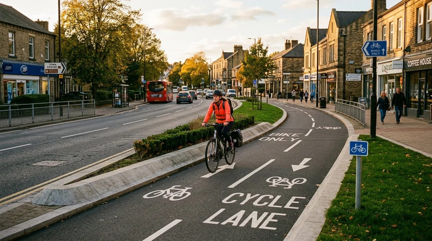
You wheel your bicycle out of your doorway in Kingsmere or Bure Park and join the morning flow of commuters, parents, and students heading towards town. For an expanding market town designated as a Garden Town and Healthy New Town, pedal power offers an appealing alternative to sitting in ring-road traffic queues. When you navigate Bicester cycle routes on two wheels, you quickly experience a tale of two distinct networks. Modern segregated pathways in brand-new housing developments deliver smooth, safe journeys, while disconnected town-centre approaches present unexpected obstacles. Here is an honest, ground-level assessment of cycling infrastructure across Bicester, examining what works smoothly, where routes fall short, and how future civic investments aim to close the gaps.
TL;DR: Bicester Cycle Routes and Infrastructure at a Glance
- Network overview: Examines modern segregated greenways, missing town-centre connections, station cycle hubs, and the Oxfordshire County Council active travel roadmap.
- Why bike infrastructure Bicester matters: With thousands of new homes under construction, high-quality cycle routes reduce car dependency and alleviate town gridlock.
- Key highlight: Purpose-built paths in Elmsbrook and Kingsmere set high standards, but central pinch points at the London Road level crossing and Sheep Street restrict seamless cross-town journeys.
- Practical cyclist information: Covers designated path routes, surface conditions, railway cycle hubs, safety tips for busy roundabouts, and reporting road hazards.
- Immediate local action: Review your daily route, secure your bicycle with a Sold Secure D-lock, and consult our getting around Bicester guide to plan smarter multimodal trips.
Which Segregated Cycle Paths and Corridors Succeed Across Bicester?
Bicester’s flat Oxfordshire topography provides an ideal natural foundation for daily cycling. Recent planning policies have required property developers to build dedicated, off-road active travel routes within new residential communities. When you ride through North West Bicester, the eco-town development at Elmsbrook illustrates how modern bike infrastructure Bicester design should function. Broad asphalt paths separate cyclists entirely from motor vehicles, tracing natural drainage swales and tree-lined avenues along Charlotte Avenue and the B4100. These wide tracks allow families, schoolchildren, and daily commuters to travel without breathing exhaust fumes or negotiating speeding traffic.
In south-west Bicester, the Kingsmere estate features a similarly well-designed perimeter network. Smooth shared-use paths run alongside Middleton Stoney Road and Whitelands Way, connecting residents directly to the Whitelands Farm Sports Ground (postcode OX26 1ZE) and St Edburg’s CE Primary School. Cyclists can pedal south along the A41 corridor on a wide, segregated path that links the Bicester Park and Ride with Pioneer Square in less than ten minutes. These modern paths feature clear tactile paving at junctions, drop kerbs, and solar-powered stud lighting that illuminates paths on dark winter afternoons.
Central and northern residential districts benefit from established green corridors that bypass road traffic. The traffic-free Bure Park greenway follows the River Bure nature reserve, creating a tranquil connection between Lucerne Avenue (postcode OX26 3BP) and the railway footbridge towards Bicester North Station. For details on local amenities surrounding this green corridor, visit our Bure Park and Highfield guide. Similarly, in Langford Village, quiet residential loops along Peregrine Way connect through Tubbs Lane, giving local riders a pleasant route towards the southern fringes of town.
| Cycle Route / Corridor | Location & Key Links | Infrastructure Type | Quality Rating & Best Use |
|---|---|---|---|
| Elmsbrook Eco-Corridor | Charlotte Avenue to B4100 corridor | Fully segregated asphalt track | High; daily school runs and local utility cycling |
| Kingsmere Active Path | Middleton Stoney Road to A41 link | Wide shared-use tarmac footway | High; commuter cycling and family leisure rides |
| Bure Park Greenway | Lucerne Avenue to Buckingham Road | Traffic-free riverside path | High; scenic commuter route to Bicester North Station |
| A41 Southern Cycleway | Park and Ride to Oxford Road roundabout | Segregated off-road tarmac path | Medium-High; direct access to retail and bus interchanges |
| Langford Village Paths | Peregrine Way to Tubbs Lane | Mixed shared paths and quiet lanes | Medium; residential access to southern green spaces |
Where Are the Critical Missing Links and Pinch Points in Bicester’s Bike Network?
Despite significant progress in newer housing developments, cycling through established parts of Bicester can feel frustratingly disjointed. The biggest structural weakness across the network is the lack of seamless connectivity between outer estates and the town centre. When you transition from a wide, segregated track in Kingsmere or Elmsbrook onto older arterial roads, the cycle path frequently terminates abruptly at a kerb. Cyclists are suddenly forced into narrow on-road painted lanes that sit directly in the door zone of parked cars along residential avenues.
The single greatest bottleneck for active travel in south Bicester remains the London Road level crossing. With the delivery of East West Rail and increased Chiltern Railways train frequencies between Oxford and London Marylebone, crossing barriers close for up to forty minutes in every hour during peak periods. Cyclists travelling between Langford Village and the historic town centre face lengthy tailbacks of idling vehicles. While proposals for a dedicated pedestrian and cycle underpass or accessible footbridge have been developed by Oxfordshire County Council, delays in finalizing funding have left cyclists waiting at lowered barriers in all weather conditions.
Town-centre access presents further operational friction. While Sheep Street functions as the pedestrian shopping spine of Bicester, cycling restrictions apply during peak retail hours, requiring riders to dismount and push their bicycles. Furthermore, major road junctions such as the Buckingham Road roundabout and the B4100 Banbury Road roundabout carry heavy commercial traffic that intimidates novice riders and families. Local advocacy groups, including the Bicester Bicycle Users Group, regularly lobby local authorities to replace painted cycle lanes Bicester street markings with physical kerb separation along these busy arterial roads.
How Are Local Councils and Planners Improving Cycling Safety in Bicester?
Civic planners recognize that connecting fragmented routes is essential to achieving Bicester’s target of doubling daily active travel journeys by 2031. Under the Bicester Local Cycling and Walking Infrastructure Plan (LCWIP), approved by Oxfordshire County Council and supported by Cherwell District Council, planners have drawn up a comprehensive blueprint of prioritized cycling corridors. The LCWIP identifies thirty-five specific infrastructure schemes aimed at delivering continuous, high-grade routes between housing estates, business parks, and railway stations.
A key focus of the plan is transforming peripheral roundabouts into safer, Dutch-style junctions that give pedestrians and cyclists priority over turning motor vehicles. Upgrades planned along the Banbury Road and Buckingham Road corridors include widening existing footways into three-metre shared paths, installing signal-controlled Toucan crossings, and adding physical separators between cycle tracks and general traffic lanes. By providing continuous physical protection, local planners aim to address cycling safety Bicester concerns that prevent parents from letting their children cycle to secondary schools such as The Bicester School or Cooper School.
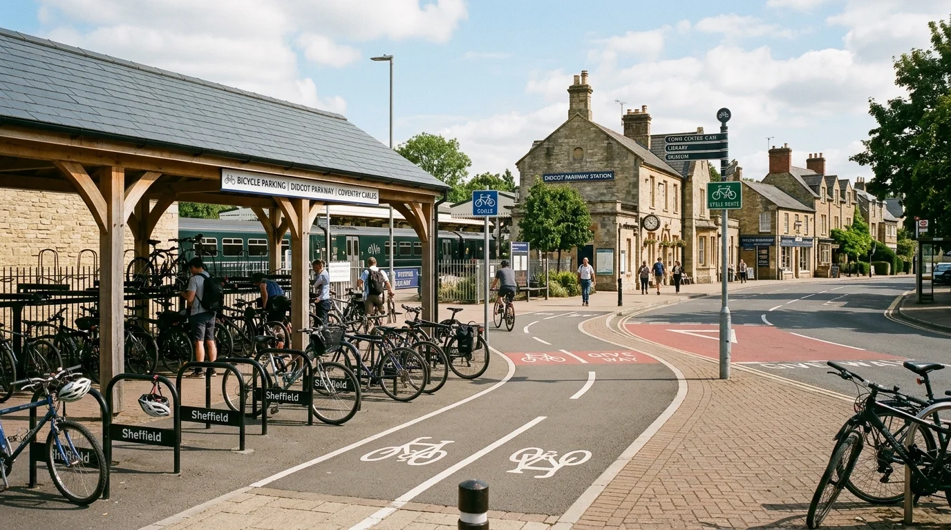
Secure cycle parking at transport interchanges represents another area of steady improvement. Bicester North Station (postcode OX26 6EF) provides 136 sheltered bike spaces under round-the-clock CCTV surveillance on Buckingham Road. Meanwhile, Bicester Village Station on Station Approach (postcode OX26 6HU) houses 182 two-tier sheltered stands directly adjacent to the ticket hall. These secure hubs enable residents to combine pedal journeys with regional rail services to London, Oxford, and Milton Keynes. To explore wider route options, consult our dedicated overview of cycling routes in Bicester and our guide to regional new developments in Bicester.
How Do You Choose the Safest and Fastest Bicester Cycling Route for Your Journey?
Choosing the best cycling approach across town requires balancing road safety, surface quality, and current railway crossing conditions. Use this practical decision guide to navigate Bicester efficiently:
- If you are cycling to Bicester North Station for an early morning train: Use the off-road River Bure greenway from Lucerne Avenue, which connects directly to the railway footbridge and avoids the busy Buckingham Road roundabout during peak hours.
- If you are commuting from Kingsmere or South Bicester to Bicester Village Station: Take the segregated path along Middleton Stoney Road and Oxford Road, which brings you straight to Station Approach without having to cross the London Road rail barriers.
- If you are riding with primary school children or beginner cyclists: Stick strictly to the traffic-free eco-corridors in Elmsbrook or the circular paths around Whitelands Farm Sports Ground, both of which eliminate interactions with motor vehicles.
- If you are travelling across town from Langford Village to Sheep Street: Check the rail barrier status before departing, and consider diverting through Tubbs Lane and Pingle Field towards Garth Park (postcode OX26 6PS) to reach central shops safely.
- If you encounter broken glass, potholes, or overgrown hedgerows on a cycle track: Report the issue directly to the county highways team via FixMyStreet Oxfordshire (
fixmystreet.oxfordshire.gov.uk) with the exact location and a photo to trigger prompt council maintenance.
The Road Ahead for Bicester Cycle Routes
Investing in continuous, segregated Bicester cycle routes transforms our market town into a healthier, cleaner, and better-connected place to live for every resident. As new active travel upgrades roll out across Banbury Road and railway crossings, cycling will continue to establish itself as the fastest way to travel across town. Keep following our town life updates and check our local calendar for upcoming community bike rides and cycling workshops.